Most people who hike the Dale Ball Trails for the first time assume the whole system behaves the same way: steep, rocky, a lung-and-quad workout in thin mountain air. That reputation comes from the trailheads everyone already knows, Cerro Gordo and the cluster of access points on Camino de Cruz Blanca, where the terrain climbs fast toward Picacho Peak and Atalaya Mountain. If your only exposure to Dale Ball is a magazine list of "best hikes near Santa Fe," you'd have no reason to think otherwise.
Sierra del Norte residents know better, because their trailhead isn't built for that kind of hike at all. The access point at Hyde Park Road and Sierra del Norte has its own name among the volunteers who maintain it: the Corral. It's the flattest, most forgiving entry point on the entire 25-mile network, and that single fact changes how the neighborhood actually uses the trail system day to day, not as a destination hike you plan around, but as the thing you do before coffee gets cold.
What "the Corral" actually means
The Santa Fe Conservation Trust, the nonprofit that has maintained Dale Ball's junction signage since a volunteer install in the fall of 2016, describes the Sierra del Norte trailhead as offering the most moderate terrain on the whole system, serving the North and Central sections. That's a meaningfully different trail experience than what you'd find a mile and a half south at Cerro Gordo, where parking is limited and the path climbs immediately toward the Central and South sections along with the Nature Conservancy's Santa Fe Canyon Preserve trail.
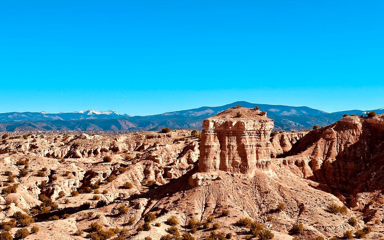
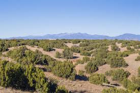
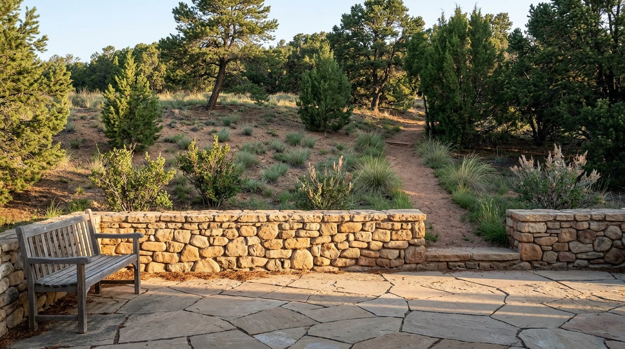
The vegetation tells the same story before you've walked a hundred yards. The north and central sections that the Corral feeds into run through piñon-juniper woodland, low, open, easy to read at a glance, thick with yucca and the occasional cholla. It isn't until you push south toward the higher sections that the landscape changes to ponderosa, white fir and Douglas fir, and the trail starts asking more of your legs. Sierra del Norte residents don't have to earn their way into the easy terrain. They live at its front door.
A loop, not a summit
The practical result is that a resident's morning routine looks nothing like a visitor's bucket-list hike. From the Corral, you can string together a two-mile loop and be home before a work call, or you can keep going. The North and Central sections connect north to the Little Tesuque Trail by way of La Piedra Trail, and south toward Atalaya Mountain and the Santa Fe Canyon Preserve, so the same trailhead that handles a fifteen-minute dog walk also opens onto the 9,121-foot summit push if you want it on a Saturday with nothing else on the calendar.
Here's how the three main Dale Ball access points actually compare, based on where they sit and what they connect to:
| Trailhead | Location | Terrain served | Typical local use |
|---|---|---|---|
| Sierra del Norte (the Corral) | Hyde Park Road at Sierra del Norte | North and Central sections, piñon-juniper woodland | Daily loops, dog walks, ample parking |
| Cerro Gordo | Upper Canyon Road at Cerro Gordo | Central and South sections, plus Santa Fe Canyon Preserve | Steeper access toward Picacho Peak, limited parking |
| St. John's / Dorothy Stewart / Wilderness Gate | Camino de Cruz Blanca | South section, ponderosa and fir at elevation | Closest jumping-off point for the Atalaya Trail summit |
That table is the whole argument in miniature. Three access points into the same trail system, and only one of them is built for the errand-length version of the hike. The other two are built for a plan.
The rhythm shifts with the season, not the calendar
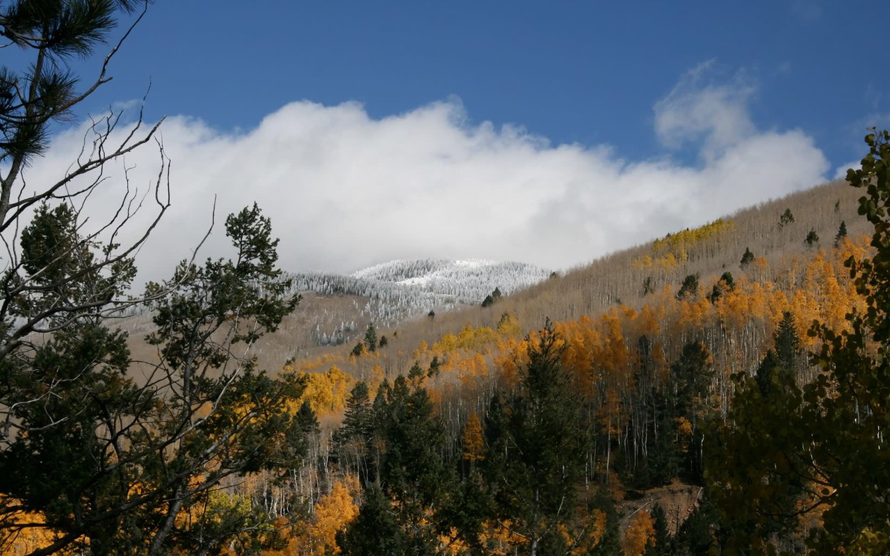
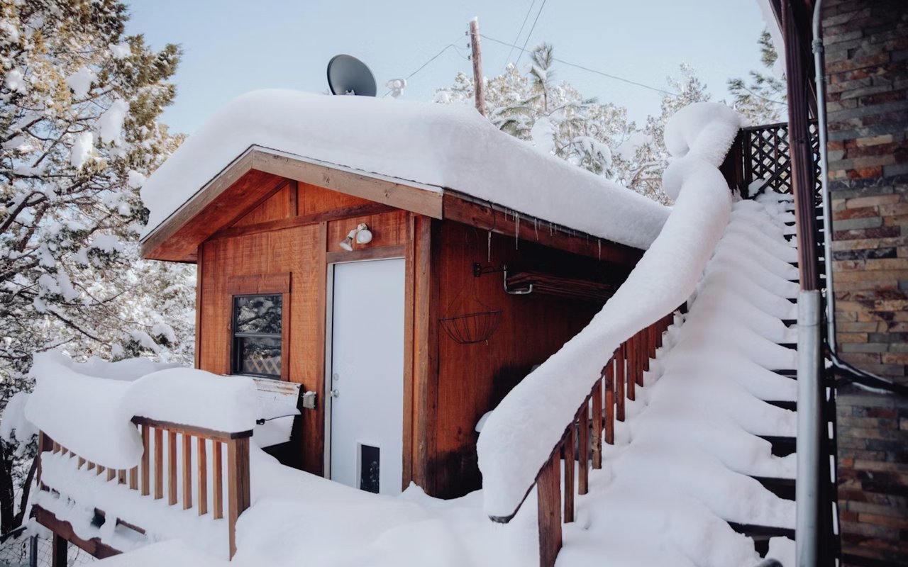
Because the Corral's terrain stays gentle year-round, it's the section of Dale Ball that keeps working when the higher trails don't. Winter snow lingers longest on the south section's ponderosa slopes, while the north and central sections around Sierra del Norte tend to clear faster and stay walkable. Fall brings the gold-leafed aspens into view at higher elevation, particularly once you've climbed toward Hyde Memorial State Park, about three miles further up Hyde Park Road from the trailhead, where the park's 350 acres include the quarter-mile Waterfall Trail down to a scenic creek and the more demanding West Circle Trail, which gains over a thousand feet in under three miles. Residents who want more than a loop can head farther up Hyde Park Road.
That state park connection matters for anyone thinking about the full arc of a Sierra del Norte week: the flat loop on a Tuesday morning, the push toward Atalaya on a free Saturday, the drive up to Hyde Memorial's fifty-plus campsites when out-of-town family visits in October for the aspens. One trailhead, three completely different uses, all within reach of the neighborhood.
Where the loop actually ends
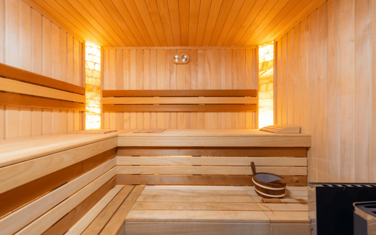
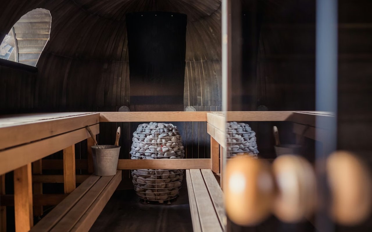
The direction you choose after a hike says as much about the day as the hike itself. Head a mile up Hyde Park Road from the Corral and you land at Ten Thousand Waves, the piñon-shaded spa built around hot springs and saunas, with Izanami restaurant attached for the crowd that wants a soak and a meal to close out a longer trail day. Head the other way, down Hyde Park Road toward the Plaza, and the loop ends somewhere more practical: Tia Sophia's for green chile and eggs, or the DeVargas Center, where Market Street and Sprouts Farmers Market cover the grocery run that inevitably follows a morning outside.
Neither direction is the "right" one. That's the point. A neighborhood whose trailhead can flex between a fifteen-minute loop and a three-mile push toward a state park doesn't force its residents into one kind of day. It just gives them the option, every single morning, without needing to check conditions or plan around anyone else's version of what the hike should be.
The trailhead everyone else misses
Search for Dale Ball Trails online and you'll mostly find the same handful of dramatic entries: Picacho Peak's views, Atalaya's summit, the technical single-track that draws mountain bikers from across the region. All of that is real, and all of it is reachable from Sierra del Norte if you want it. But the trail system's own maintainers describe the Corral differently than the guidebooks do, as the moderate, dog-friendly, ample-parking option that most visitors never think to look for because it doesn't photograph the way a summit does.
That's the piece the generic hiking roundups leave out, and it's the reason Sierra del Norte's relationship with its own trailhead looks less like a hiking destination and more like a driveway. You don't plan a trip to use it. You just use it, on your way to somewhere else, most days of the week, in whichever direction the morning calls for.
If you're weighing what daily life actually looks like in a neighborhood like Sierra del Norte, beyond the listing photos, the Ricky Allen-Tara Earley Group spends as much time walking these trails and talking to the people who live along them as we do writing offers. Tell your home's story, work with the RCT Team.